01
Farm layouts
Present crop zones, water routes, and infrastructure as clear planning views.
Visualizations
Visualizations turn project data and design intent into a clear story. They help teams and stakeholders review layouts, field conditions, and project trends before decisions are finalised.
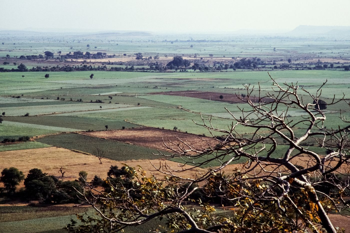
Present spatial arrangements, crop areas, infrastructure, and project information in a format that is easy to review.
Present crop zones, water routes, and infrastructure as clear planning views.
Translate design intent into visual representations that communicate scale and layout.
Organise sensor readings and observations into a clear concept for project review.
Decision support
Clear visuals help stakeholders understand project arrangements and supporting information before important decisions are made.

Start your project
Share your project type and the information you would like to visualise.
Request a consultation Chat with us